Mapping Cycle-friendliness – towards a national standard
Submitted by Fonant on 9 January, 2013 - 16:45
Publisher:
Cyclenation / CTC
Publication date:
April 2008
Document file:
Document types:
Document weight:
Document geography:
Geographical spread:
Abstract:
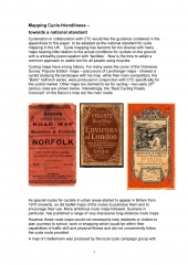
Cyclenation in collaboration with CTC would like the guidance contained in the appendices to this paper to be adopted as the national standard for cycle mapping in the UK. Cycle mapping has become far too diverse with many maps bearing little relation to the actual conditions for cyclists on the ground, with a unhealthy preoccupation with ‘facilities’. Now is the time to adopt a common approach to useful tool for all people using bicycles.
Comments:
Covers the guidelines used for the Cheltenham Cycle Map in 2004, with roads coloured according to various criteria relevant to cyclists, including reference to Bikeability levels needed to use each road.

